The October issue looks at the many tangled meanings denoted by ‘land’, through borders and belonging, ecology, production and property
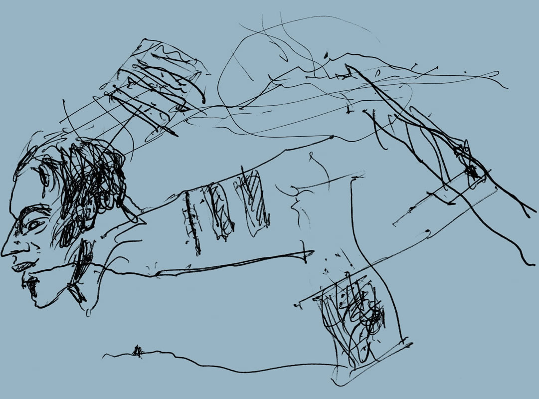
Never a blank, flat surface on which to build, even the emptiest site is not empty. The site does not end at the boundary line; long tangled roots of history, ecology, personal stories, extend outwards and backwards through time. Land is both the clumps of earth beneath our feet and between our toes, and the boundless ground stretching like a skin to the horizon. Land is the assimilation of countless layers and threads, many man-made, some etched by conflict, capital, ecocide, some buckled or melted under human neglect and abuse. From the smallest act of shifting a stone to the most brutal raising of territories as-yet unbuilt, architecture is part of this accumulation: sprinkled sparsely or bristling in dense tufts, carving the ground into neat squares to be more easily laboured or large parcels to be more easily fortified. Architects build land, not on it.
For some, land is something to be appropriated, fixed to or live off; for others, it is something to live with, without making permanent marks. It is both home and homeland. White insistence that land can be owned – and taken away – is the basis of the colonial project. ‘Improvement of the soil, land, buildings, and those people who dwell upon and within these spaces,’ Brenna Bhandar writes in this issue’s keynote, ‘has been a primary justification for the making of land into property and for the appropriation and control of the built environment on a global scale.’
The same structures that underpin the inequity in land relations must also be unbuilt in these pages and in the AR’s editorial practice. Our collective perspective has been augmented and enriched by conversations with a diversity of editorial contributors and others. Narratives from Mongolia, Palestine, South Africa, Vietnam, France, Sweden and more help us challenge the ways we construct and inhabit the land – and tell its stories.
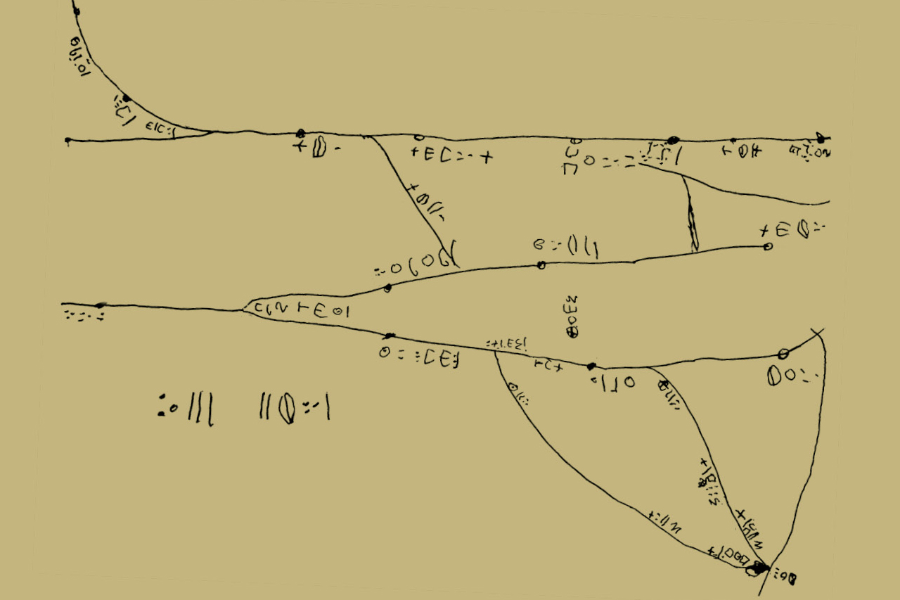
Lead image: the lines of this map indicate dry valleys along which Tuareg farmers would herd livestock between grazing grounds. The drawing covers an area of Niger 150km wide and 90km deep, and places are written in the Tifinagh alphabet